Belgium
European Union (E.U.) Country Project.


History of my country:
Belgium occupies part of the Roman province of Belgica, named after the Belgae, a people of ancient Gaul. The area was conquered by Julius Caesar in 57–50 B.C. , then was overrun by the Franks in the 5th century A.D . It was part of Charlemagne's empire in the 8th century, then in the next century was absorbed into Lotharingia and later into the duchy of Lower Lorraine. In the 12th century, Belgium was partitioned into the duchies of Brabant and Luxembourg, the bishopric of Liège, and the domain of the count of Hainaut, which included Flanders. In the 15th century, most of the Low Countries (currently the Netherlands, Belgium, and Luxembourg) passed to the duchy of Burgundy and were subsequently inherited by Emperor Charles V. When the latter abdicated in 1555, the territories went to his son Philippe II, king of Spain. While the northern part, now the Netherlands, gained its independence in the following decades, the southern part remained under Spanish control until 1713, when it was transferred to Austria. During the wars that followed the French Revolution, Belgium was occupied and later annexed to France. But with the downfall of Napoléon, the Congress of Vienna in 1815 reunited the Low Countries under the rule of the king of Holland. In 1830, Belgium rebelled against Dutch rule and declared independence, which was approved by Europe at the London Conference of 1830–1831.
Germany's invasion of Belgium in 1914 set off World War I. The Treaty of Versailles (1919) gave the areas of Eupen, Malmédy, and Moresnet to Belgium. Leopold III succeeded Albert, king during World War I, in 1934. In World War II, Belgium was overwhelmed by Nazi Germany, and Leopold III was held prisoner. When he returned at the government’s invitation in 1950 after a narrowly favorable referendum, riots broke out in several cities. He abdicated on July 16, 1951, and his son, Baudouin, became king. Because of growing opposition to Belgian rule in its African colonies, Belgium granted independence to the Congo (now Democratic Republic of the Congo) in 1960 and to Ruanda-Urundi (now the nations of Rwanda and Burundi) in 1962.
Since 1958, when the European Economic Community was born, Brussels, the country’s capital, has gradually established itself as the de facto capital of what has now become the European Union (EU), a role that became official in Dec. 2000 when the European Council of heads of government decided to hold all its regular meetings in Brussels. As a result, the city has become home not only to nearly 20,000 European civil servants, but to an even more numerous community of lobbyists, lawyers, and other professionals drawn to the EU’s main decision center.
Growing divisions between Flemings and Walloons, and devolution along linguistic lines, culminated in the revised constitution of 1994, which turned Belgium into a federal state with significant autonomy for its three regions and its three language “communities.”
Was my country a part of another country at any point:

Where is located:
Flag

Information of flag:
The national flag of Belgium (Dutch: Vlag van België, French: Drapeau de la Belgique, German: Flagge Belgiens) is a tricolor of three bands of black, yellow, and red. The colours were taken from the coat of arms of the Duchy of Brabant, and the vertical design may be based on the flag of France. When flown, the black band is nearest the pole (at the hoist side).
Officially, the national flag has the unusual proportions of 13:15, but is rarely seen in this configuration. Instead, a flag in a common 2:3 or similar ratio is used in most cases, even by most government bodies and official organizations
Adopted January 23, 1831
Design a vertical tricolour of black, yellow, and red. Technically the national flag, but rarely seen.
Capital and Major cities
Major cities:
- Antwerp, Flanders
- Ghent, Flanders
- Charleroi, Wallonia
- Brussels, Capital
Tourism:
1. Bruges: Belfry & Halle
The south side of Bruges' Markt (the main square) is dominated by the Halle with the belfry - Bruges' most distinctive landmark - soaring above it. The Halle was begun in 1248 and twice enlarged, first in the 14th century and then again in the 16th century, and once functioned as the city's main market place. The building encloses a picturesque courtyard, and the balcony above the entrance was once used by the city fathers to promulgate their statutes to the populace assembled beneath.
The 83-meter-high belfry is one of the finest bell towers in Belgium and is entered from the Halle's inner courtyard. Construction of the bell tower began in 1282, and the crowning octagonal upper section was finally completed in 1482. Today, a carillon of 47 bells still hang in the tower. For the best view over Bruges, you can climb the 366 steps up to the top of the tower. On the way up, the old Treasure Room where civic documents are kept behind wrought-iron grills can be visited on the second floor.
Address: Markt, central Bruges

2. Basilica of the Holy Blood.
The Basilica of the Holy Blood (Heilig-Bloedbasiliek) presides over the central plaza known as the Burg. The church is famous for the crystal vial kept inside that is reputed to contain a drop of Christ's blood brought back from the Holy Land by Dietrich of Alsace in 1149 on his return from the Second Crusade. Each year in May, this sacred relic is carried through the streets of Bruges in the Procession of the Holy Blood. The facade of the basilica with its three Flamboyant-style arches and gilded statues was erected between 1529 and 1534. The basilica itself consists of a Romanesque lower chapel and a late Gothic upper chapel, which houses relics of St. Basil brought from Palestine by Robert II, Count of Flanders. An elegant spiral staircase leads to the upper chapel (built in 1480) where every Friday the vial containing the Holy Blood is brought out and shown to the faithful.
Address: Burg, central Bruge.

3. Ghent's gravensteen

Geography

Physical geography:
The coastal area is a series of sandy beaches and polders, backed by protecting dunes.
Inland, up to the Meuse River, the land is generally flat, with numerous canals and dikes protecting the land from the sea. It's criss-crossed by many small tributaries of the Schelde River. Valley's, caves and small gorges can also be found in this area.
East of the Meuse, forested hilly conditions rise to the rugged and flat-topped mountains of the Ardennes Region. The highest point is the Botrange, at 2,276 ft. (694m).

Government Type:
Currency type: Euro
What did they use prior?

Interesting Facts:
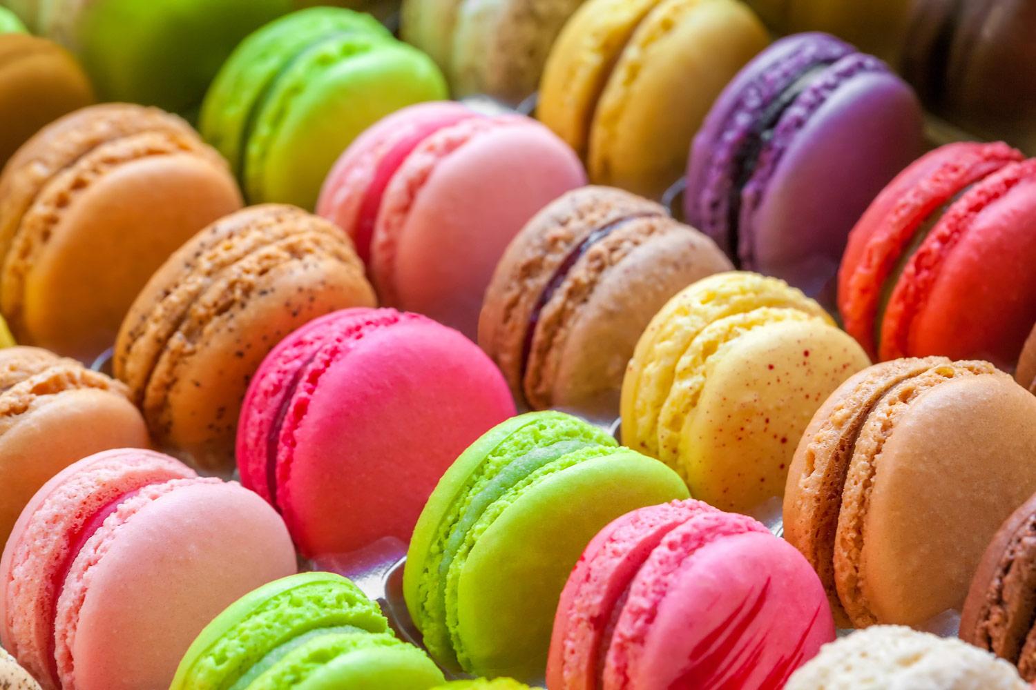
1. Typical foods:
Gaufre/waffle

2. Crevete Grise/ Grijze Granalen.

2. Monument
Grand place
Location: Brussels

Beguinage / Begijnof

3. Lenguage
Languages

