GISTIC Innovative Products
GISTIC innovative Solutions
How GIS Helps The Transport Industry
Geographic analyses and maps offer resources, assets and facilities overviews important in contributing operations that are more efficient in the transport industry. The technology also enhances decision making for development and projection. If you are in the transport industry, you can get solutions that will help you manage, map and use infrastructure related information. The technology touches on different transport areas offering efficiency on how the operations are managed.
Aviation
Airports are made up of complex infrastructure below and above the ground. The air travel is also an area that is subject to safety and operational demands regulated by international and national laws. They also have to cope with growing public accountability and responsibility and this creates a need for effective management tools and planning. GIS easily addresses the challenges within business management and planning making it easy for them to compile and also analyze information. GIS can be used in managing facility date and map within and outside the airport, designing secure procedures for outgoing and incoming flights, capturing airport data and offering public solutions like terminal maps and airport apps.
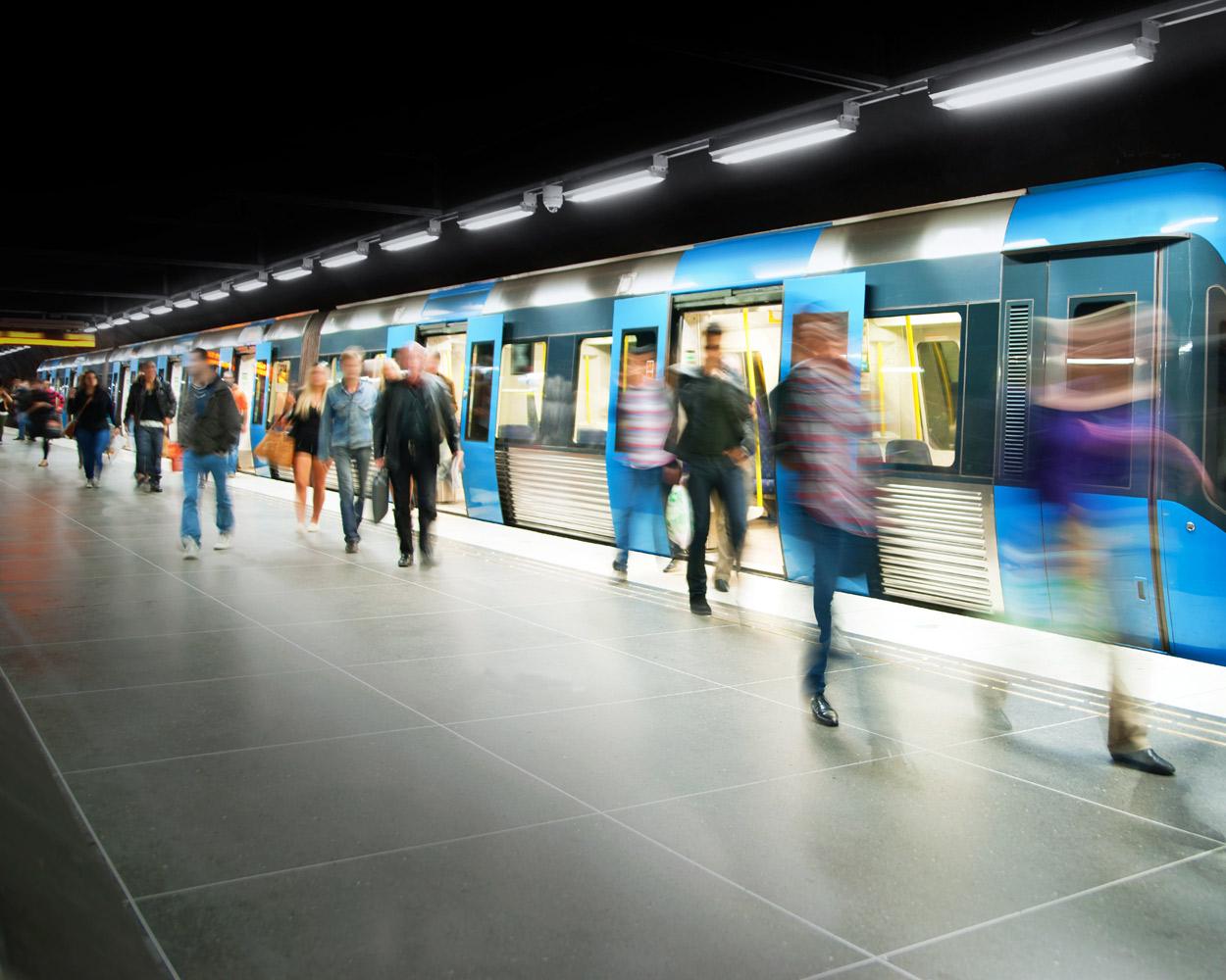
Railways
Using geographic information system in railways makes it easy to overview the infrastructure. The system makes it possible to identify equipment that need urgent maintenance, get information on capacity and passengers and to analyze the environmental impacts proposed new railway lines have. Apart from helping with visualizing data on maps, it boosts better information flow, knowledge sharing and interaction externally and internally resulting in more efficient management of current and future developments of any railway network.
- GIS maps offer a unique overview of assets, facilities and resources that complement additional systems for operation administration and maintenance. They also make it easy to compile data under different themes like weather conditions, natural hazard risks and traffic situations among others.
- The technology helps in identifying wildlife conflicts, cultural heritage sites, conservation areas, population and natural hazard consequences when a new rail line is being constructed. When all these are identified in the early stages of the rail construction, efficient planning is done and the development process is made more effective.
- Carbon footprint is also reduced and risks minimized using GIS because environmental impacts are identified and improvements made so there are no conflicts and collisions. For instance natural damage risks are minimized when there is a data collection of landslide and avalanche.
Maritime
The maritime field has not been left behind as far as GIS goes in offering transport solutions. Using the information systems, the efficiency of your management processes will be increased and rich data sources are analyzed to help you with the decision making process. A nautical business system can be established for the purposes of administration surveying and distribution. With GIS, maritime companies are able to administer and survey nautical data, analyze data sources so that the best decisions are made and they are also able to administer and establish nautical maps. Comprehensive system can be acquired to produce sea charts navigational data.
GIS projects have proved to be of great importance to the transport industry. Management, development and planning of projects and expansions are made more efficient, making overall results that are nothing but the best.
By Abdullah Aziz, working as content writer and have good in depth knowledge about GIS Projects. Visit http://www.gistic.org/products/